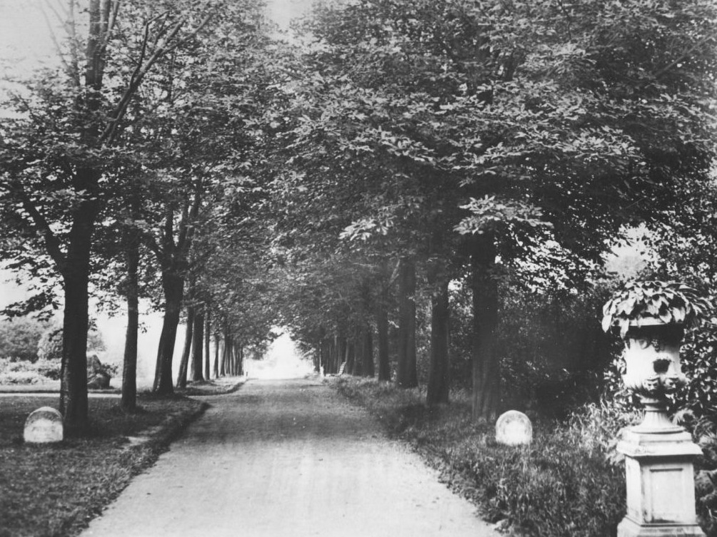
History of Mayer Park

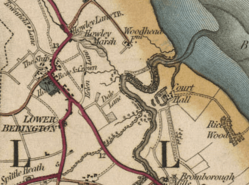
The name Mayer Park comes from Joseph Mayer who gifted a large area for the creation of a Park for the people of Bebington. Ormerod Gardens where added later, named after Bernard Ormerod.

But it would be nice to fill out the "picture" with other peoples memories.
Who were the gardeners, did you have an allotment do you remember the air raid shelter, the whale bone arches?
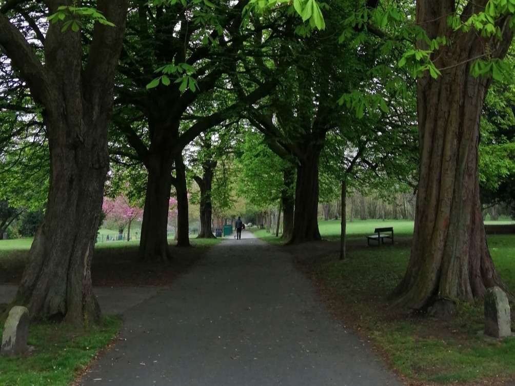
Did you attend the college that was in the park, or just have memories of the park.

My memory is having my wedding pictures taken in the Rose Garden.

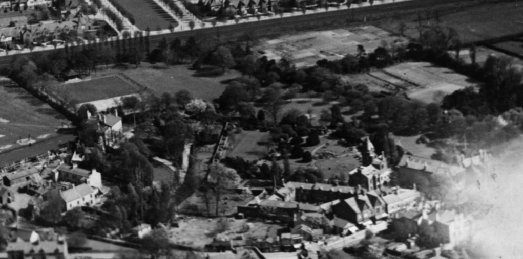
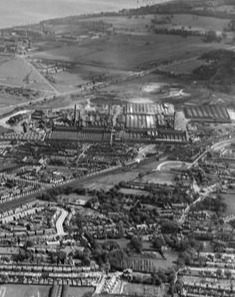
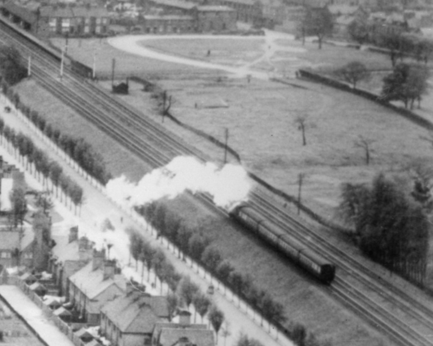
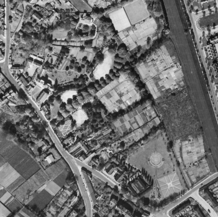
Some pictures from "Britain from Above" if you register online (free) you can zoom in on the pictures and see more detail.
Although mainly pictures of Port Sunlight, Mayer Park and Lower Bebington appear at the edge of many of the pictures.

Your contributions are most welcome

If you have any recollections, stories, photos, postcards etc that you would like to share
contact us via the link below

1831

Bryant's map of 1831. Shows an area little changed from from the past.
Bebington was on the edge of a marshy area of ground and a small stream ran through the area that now contains the children's playground.
The coming of the railway created a barrier that cut Bebington off from the views across the Mersey.
The Railway was opened in 1840

Mobirise

1844

The Tithe map of 1844 shows the park as a mosaic of fields.
Many of the boundaries of these plots can still be seen in the park, with hedges, lines of trees and brick foundations. There are even a few Marker posts.

Click on the link to check who owned each field or building and who the occupier was.

Mobirise

1926

EPW015964 ENGLAND (1926). Port Sunlight Village, Port Sunlight, from the west, 1926. This image has been produced from a print

Mobirise

1934

EPW044487 ENGLAND (1934). Port Sunlight Village, the Lever Brothers Sunlight Soap Works, the River Mersey and environs, Port Sunlight, from the north-west, 1934

Mobirise

1934

EPW044482 ENGLAND (1934). The Lady Lever Art Gallery, The Diamond and Port Sunlight Village, Port Sunlight, from the north, 1934. This image has been produced from a copy-negative.

Mobirise

1948

Historic England Aerial Photo - RAF_CPE_B_UK_19_V_5375
Source Historic England Archive (RAF photography)
Date flown: April 26, 1948
Sortie: RAF/CPE/B/UK/19
Pilot: RAF
note all the allotments

Mobirise

interpreting old photos

late 1800's

the hedge on the right was the edge of the park at that time. The land on the other side of the hedge belonged to a house the stood where the Knot garden is. 

2022

This looks like the same view, but has the path on the left moved or was the picture taken from a different spot? The Dicken's stones have been turned through 90' and have the moved along the path?

Drag & Drop Website Builder